Welcome to geo_loc’s Documentation!
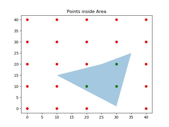
geo_loc is a handy GIS tool for finding points within an area. geo_loc use Matplotlib library to create polygon from a list of (x,y) pairs, and to determine if a point is inside a given polygon or not. geo_loc simplifies this process.
So if we have X and Y points coordinates of outer limits of an area, with geo_loc a polygon can be created, and then we can see if another given point is located inside the polygon.
Download geo_loc on GitHub
Requirements
- Python 3.7
- Pandas
- Numpy
- Matploplib